El GPS o La Flecha Amarilla?
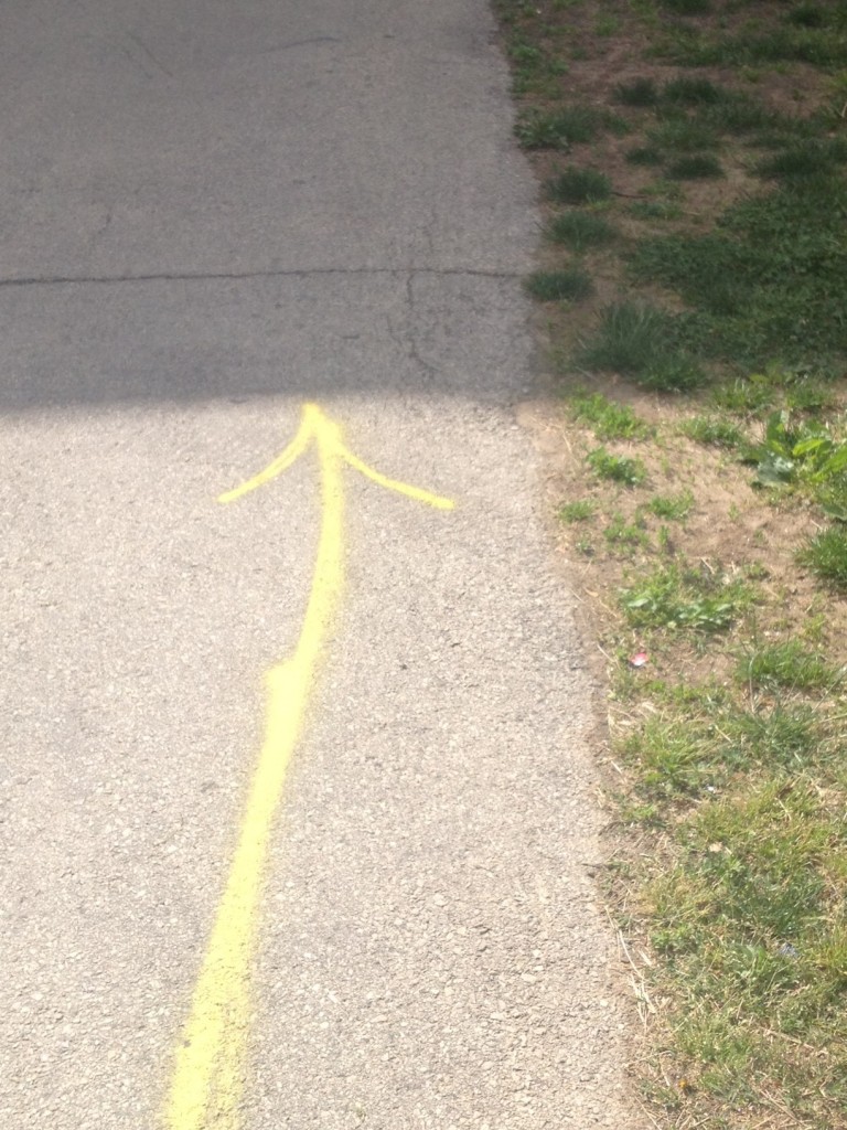
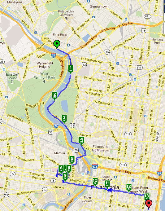
Nathaniel’s dear friend Drew Farquhar meets me punctually at 9:00 and off we go to U of Penn. Three miles into the walk, I have a sudden revelation. The only way a GPS works is if you turn it on. Therefore, I now have two confessions to make: 1) Yesterday’s walk map lacked a black line from Bryn Mawr to Ardmore. Can you guess why? 2) Today’s indicates we started from Falls Bridge, but where are the 3.2 miles that we walked from Manayunk? Can you guess why again? Bingo! One has to turn the darn thing on. So, GPS-less, Drew and I still manage to walk confidently. In Spain on the Camino de Santiago, the yellow arrow (la flecha amarilla) indicates the path, so pilgrims are constantly reassured that they are going in the right direction. Although the Camino de Nathaniel is young in pilgrimage-route years, a yellow arrow magically appears before  us on Kelly Drive. So even without technology, we know we are going in the right direction, because the yellow arrow says so. It eventually leads us to two anxiety treatment centers in downtown Philadelphia where I have scheduled appointments. From now on, I’m definitely trusting my instincts first, yellow arrows second (if they happen to magically appear), and finally the GPS — if I remember to turn it on.
(Webmaster Judy’s note: check out these great photos on the Shipley Website of their stunning send off for Denis on Day 3 of the walk.)


One Response to April 27, Day 4 — Manayunk to Old Philadelphia